

KI-Agenten, die erkennen, überwachen und prüfen, was vom Himmel aus sichtbar ist

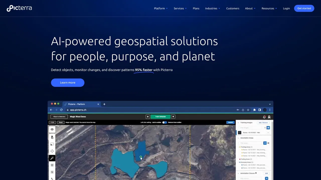
Picterra is a geospatial AI platform that turns satellite imagery into plot-level intelligence for commodity supply chains, covering crop yield risk, deforestation and EUDR compliance, carbon and regenerative agriculture monitoring.

Das ist die Einschätzung unserer Redaktion auf einer Skala bis 5, kein Durchschnitt von Nutzerbewertungen. Die Sichtweisen auf dieser Seite hat eine KI aus den bekannten Produktinformationen zusammengefasst. Es sind keine Kundenrezensionen.
Laut der am 2026-11-11 verifizierten Telemetrie von OpenAITools.app ist Picterra (picterra.ch) eine KI-Plattform, die unter KI-Modelle indexiert ist und 562 monatliche Besuche mit einem Traffic-Delta von -1665 (-74,8 %) gegenüber dem Vormonat generiert. Ihr primärer geografischer Markt ist Vereinigte Staaten (100 % Traffic-Anteil) und sie arbeitet mit einem Preismodell „Kostenlose Testversion, Preise auf Anfrage“. Zu den wichtigsten konkurrierenden Alternativen nach monatlichem Volumen gehören FlyPix AI (86.419 Besuche/Monat), EOS Data Analytics (720.760 Besuche/Monat), Picarta (243.373 Besuche/Monat).
Hervorragend für Satellitenbildanalyse.
Liefert präzise Daten für Lieferketten.
KI-synthetisierte Perspektiven auf Basis von Live-Prüfung, Preisstruktur und Kategorie-Benchmarks — keine echten Einzelkundenbewertungen.
A single, continuously updated source of truth for every plot behind your supply, blending satellite observation, ML models, specialized datasets and your own supplier data.
Every signal links back to the plot it came from, giving you audit-ready records for individual shipments rather than country-level averages.
Track crop condition and climate stress across sourcing regions through the season so volume and pricing decisions reflect what is happening in the field.
Verify deforestation-free status plot by plot and keep shipment-level evidence ready for EUDR and other market-access regulations.
Ask questions in plain language and see the reasoning behind each answer, with conclusions that can be traced back to source data.
Picterra is a geospatial AI platform that turns satellite imagery into plot-level intelligence for commodity supply chains, covering crop yield risk, deforestation and EUDR compliance, carbon and regenerative agriculture monitoring.
Monitor crop condition and climate stress across the regions you buy from so you can adjust volumes and pricing before a shortfall hits.
Establish deforestation-free status plot by plot and assemble shipment-level documentation ahead of regulatory deadlines.
Measure agroforestry, carbon and soil-related practices across a supply base with data that stands up to external review.
Bring satellite-derived evidence into supplier conversations to make sourcing decisions with a shared, verifiable view of the ground.
Direkter Telemetrievergleich konkurrierender KI-Tools in derselben Hauptkategorie
| Rang | KI-Tool | Monatliche Besuche | MoM-Wachstum | Anteil direkter Zugriffe | Preise | Direktvergleich |
|---|---|---|---|---|---|---|
| ● | Picterra | 562 | -74,8 % | 39% direkt | Kostenlose Testversion, Preise auf Anfrage | Aktuell |
| 1 | FlyPix AI | 86.419 | +14,6 % | 28% direkt | Freemium, Kostenlose Testversion, Kostenpflichtig | vs FlyPix AI |
| 2 | EOS Data Analytics | 720.760 | -16,9 % | 31% direkt | Preise auf Anfrage | vs EOS Data Analytics |
| 3 | Picarta | 243.373 | +22,9 % | 21% direkt | Freemium, Kostenpflichtig, Preise auf Anfrage | vs Picarta |
| 4 | Pl@ntNet | 439.904 | +34,9 % | 47% direkt | Kostenlos | vs Pl@ntNet |
| 5 | Windward Maritime AI | 128.777 | -38 % | 54% direkt | Preise auf Anfrage | vs Windward Maritime AI |
| 6 | Greyparrot | 7479 | -13,9 % | 40% direkt | Preise auf Anfrage | vs Greyparrot |

KI-Agenten, die erkennen, überwachen und prüfen, was vom Himmel aus sichtbar ist

Satellitenbilder werden mit KI-Analytik zu Entscheidungen

KI-Foto-Geolokalisierung — finden Sie heraus, wo ein Bild aufgenommen wurde

Pflanzen per Foto bestimmen und zur Biodiversitätsforschung beitragen

Windward is a Maritime AI™ platform that fuses multi-sensor maritime data with behavioral analytics to deliver mission-grade, all-source operational intelligence for defense, government, and commercial organizations.

KI-Abfallanalyse für Materialrückgewinnung und Verpackungsdesign
No-Code-KI-Visualinspektion mit über 99 % Fehlererkennungsgenauigkeit

Kostenlos / Open SourceEchtzeit-Vision-Modelle und eine komplette Plattform zum Trainieren, Annotieren und Deployen

Kostenlos / Open SourceVoxel51 is the data platform for physical AI, built on the open-source FiftyOne library. It helps computer vision and robotics teams search, visualize, curate, annotate, and evaluate multimodal datasets — images, video, 3D scenes, and sensor streams — so they can find where models fail and fix the data behind them.
KI-Supply-Chain-Management für Qualität, Compliance und Rückverfolgbarkeit

KI-Videoanalyse für proaktive Arbeitssicherheit und Betrieb

Netradyne is an AI-powered fleet safety platform built around the Driver•i camera system. It analyzes 100% of drive time with edge AI, delivers real-time in-cab alerts, scores drivers with the GreenZone Score, and helps fleets reduce collisions, exonerate drivers, and lower insurance pressure.