需聯絡報價
載入中…

網站月造訪量估算

資料為該網域的 Similarweb 流量估算,不是活躍使用者數。僅顯示有資料的統計月份;擷取時間與流量統計月份分別標示。
擷取於 2026年11月11日
這是編輯給出的評估,滿分 5 分,不是使用者評分的平均值。 本頁的各方觀點由 AI 根據產品資訊歸納,不是真實使用者的評價。
依據 OpenAITools.app 於 2026-11-11 查驗的觀測資料,FlyPix AI(flypix.ai)是收錄於資料分析 AI 的 AI 平台,每月產生 8.64萬次造訪,月流量變化量為 +1.1萬(+14.6%)。其主要地理市場為巴西(流量佔比 11.4%),並採用免費增值、免費試用、付費定價模式。依每月流量計算的主要競爭替代方案包括 EOS Data Analytics(每月 72.08萬次造訪),Picterra(每月 562 次造訪),Ultralytics(每月 79.34萬次造訪)。
衛星及空拍圖的AI物件偵測超好用,完全不用自己寫模型。
處理大范围圖資時費用挺驚人的。
以下短評基於實時網頁探查、定價機制與同類基準由 AI 綜合生成,用於呈現不同情境下的常見亮點與槽點,非實名真實用戶留言。
直接在瀏覽器標註樣本,為任何可見目標訓練專屬偵測器,不需寫程式或配置機器學習專家。
把訓練好的模型變成依排程反覆掃描新影像的代理,讓變化被自動發現,而不是碰運氣。
在同一個工作空間管理多種來源與解析度的影像,包括正射影像與常見地球觀測資料源的柵格資料。
處理目標密集、場景複雜的影像,同時輸出可量測、計數與匯出的偵測框與輪廓。
透過 API 與標準地理空間格式把成果送到自有系統,讓偵測結果成為團隊現有工具中的圖層。
FlyPix AI 想解決的是「地球觀測影像大量增加、人工判讀卻極慢」的落差。分析人員不必再一張張翻閱正射影像,只要定義目標外觀、標註少量樣本,平台就會訓練出偵測器。模型訓練完成後可作為代理反覆套用於新影像,持續監看某個區域,讓監測數百平方公里成為例行工作,而不只是單一專案場址。
產品刻意鎖定非程式開發者。標註與訓練流程都在瀏覽器中完成,規劃人員、資產管理者與領域專家不必有機器學習團隊也能自建模型。底層雲端運算由 FlyPix AI 負責,成果以地圖、匯出檔、統計報表與 API 形式提供,偵測結果可直接流入既有 GIS 或資產管理系統。
公司是位於德國達姆施塔特的太空科技新創,曾入選 ESA 商業孵化器、NVIDIA Inception 與 Google for Startups 等計畫。客戶涵蓋政府、營建、再生能源、農業、林業、港口營運、礦業與智慧城市等領域,平台也可透過雲端市集採購,方便企業合規導入。
對整個城市或區域的建築、泳池、車位或基礎設施進行計數與量測,不再逐塊人工數化。
偵測太陽能板、風機與進場道路,並依時間比對偵測結果,掌握施工進度、損壞或侵占。
對同一專案區域重複觀測,完成地類判釋並追蹤林木覆蓋、非法砍伐或岸線變化。
定位碼頭及周邊區域的船舶、貨櫃與設備,支援調度、安全與使用率報表。
同一分類下同類 AI 工具的流量並排比較
| 排名 | AI 工具 | 每月造訪次數 | 月增幅 | 直接流量占比 | 價格 | 正面對決 |
|---|---|---|---|---|---|---|
| ● | FlyPix AI | 8.64萬 | +14.6% | 28% 直接流量 | 免費增值、免費試用、付費 | 目前產品 |
| 1 | EOS Data Analytics | 72.08萬 | -16.9% | 31% 直接流量 | 需聯絡報價 | 對比 EOS Data Analytics |
| 2 | Picterra | 562 | -74.8% | 39% 直接流量 | 免費試用、需聯絡報價 | 對比 Picterra |
| 3 | Ultralytics | 79.34萬 | +8.7% | 30% 直接流量 | 免費增值 | 對比 Ultralytics |
| 4 | DroneDeploy | 37.92萬 | -5.9% | 72% 直接流量 | 免費試用、付費、需聯絡報價 | 對比 DroneDeploy |
| 5 | Voxel51 | 11.77萬 | -8.2% | 29% 直接流量 | 需聯絡報價 | 對比 Voxel51 |
| 6 | Averroes AI Automated Visual Inspection | 1.43萬 | -29.2% | 35% 直接流量 | 需聯絡報價 | 對比 Averroes AI Automated Visual Inspection |

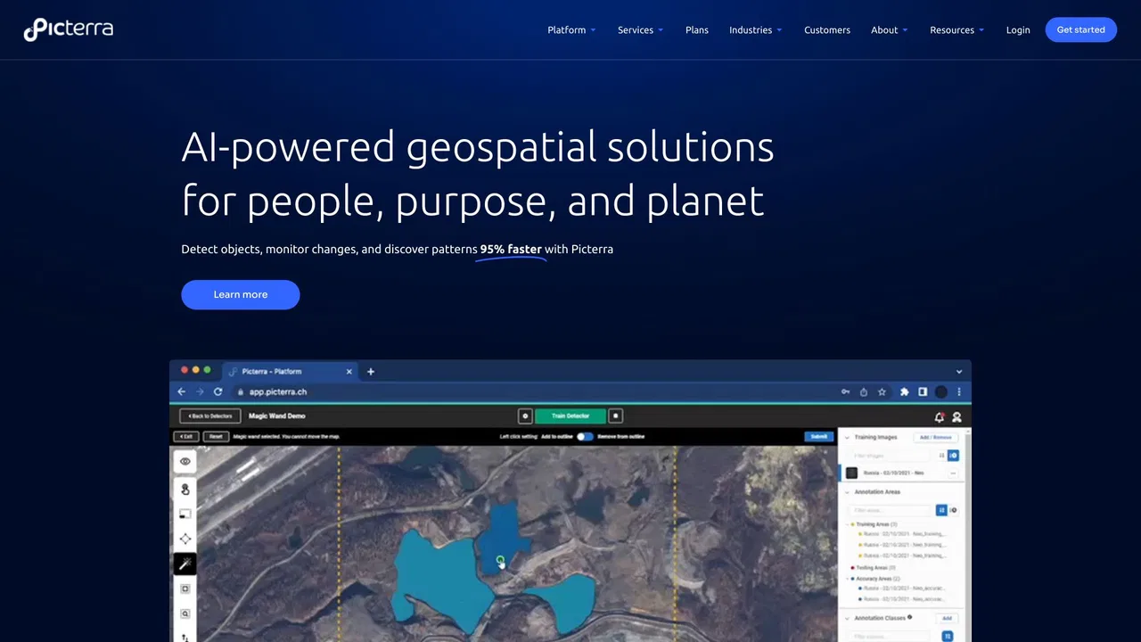
Picterra is a geospatial AI platform that turns satellite imagery into plot-level intelligence for commodity supply chains, covering crop yield risk, deforestation and EUDR compliance, carbon and regenerative agriculture monitoring.

免費 / 開源Voxel51 is the data platform for physical AI, built on the open-source FiftyOne library. It helps computer vision and robotics teams search, visualize, curate, annotate, and evaluate multimodal datasets — images, video, 3D scenes, and sensor streams — so they can find where models fail and fix the data behind them.
免費 / 開源Voxel51 is the data platform for physical AI, built on the open-source FiftyOne library. It helps computer vision and robotics teams search, visualize, curate, annotate, and evaluate multimodal datasets — images, video, 3D scenes, and sensor streams — so they can find where models fail and fix the data behind them.
瑕疵偵測精度達 99% 以上的無程式碼 AI 視覺檢測
瑕疵偵測精度達 99% 以上的無程式碼 AI 視覺檢測
以代理式方式,從想法直達即時電腦視覺應用
面向資源回收與包裝設計的 AI 廢棄物分析平台

Windward is a Maritime AI™ platform that fuses multi-sensor maritime data with behavioral analytics to deliver mission-grade, all-source operational intelligence for defense, government, and commercial organizations.
Windward is a Maritime AI™ platform that fuses multi-sensor maritime data with behavioral analytics to deliver mission-grade, all-source operational intelligence for defense, government, and commercial organizations.

Netradyne is an AI-powered fleet safety platform built around the Driver•i camera system. It analyzes 100% of drive time with edge AI, delivers real-time in-cab alerts, scores drivers with the GreenZone Score, and helps fleets reduce collisions, exonerate drivers, and lower insurance pressure.
Netradyne is an AI-powered fleet safety platform built around the Driver•i camera system. It analyzes 100% of drive time with edge AI, delivers real-time in-cab alerts, scores drivers with the GreenZone Score, and helps fleets reduce collisions, exonerate drivers, and lower insurance pressure.